
The South Mountain Reservation is home to a complex network of trails, including the Interpretive Trail.
The Interpretive Trail is in the northern end of the reservation, near Walker Road and Northfield Avenue in West Orange. It’s a short, easy going trail that connects one of the parking areas to the larger trail network and provides access to Turtle Back Rock.

Let’s explore the Interpretive Trail.
Accessing the Interpretive Trail
The Interpretive Trail has two trailheads, and they are both accessed from the parking lot at the Turtle Back Rock Picnic Area (on Google Maps).
Access to the parking area is off Walker Road. The nearest highway is I-280. If you’re traveling westbound, you’d get off at Exit 10, come up Northfield Ave, and take a left on Walker. If you’re traveling eastbound, you’d get off at Exit 7, turn left on Pleasant Valley Way, turn left on Northfield Ave, and then take a right on to Walker.

Once you’re in the parking lot, you’ll see the two trailheads. The trail is marked by an orange and white blaze.
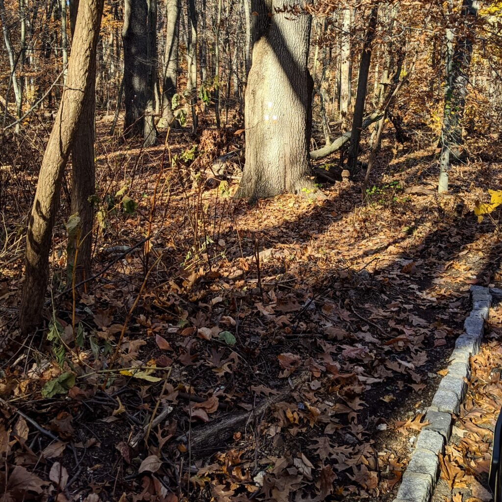
You’ll see the southern trailhead (pictured above) in the middle of the row of parking spots. There’s a tall post next to it, and nearby you’ll see a sign with a map of the trail and a brief description. You can take this trailhead to traverse the trail clockwise.
You can also enter the trail using the northern trailhead (pictured below). It’s to the right of the southern trailhead, in the corner of the parking lot. If you enter the trail at this point, you’ll travel in a counter-clockwise direction.
It doesn’t matter much which entrance you use. If you’re connecting to the Turtleback Rock Trail, the southern trailhead will get you there quicker. Both trailheads are about the same distance from Turtleback Rock.
On the Interpretive Trail
I took my dog out this morning for a quick hike on the trail so that I could take some pictures. We took the southern trailhead and went around the trail counter-clockwise.
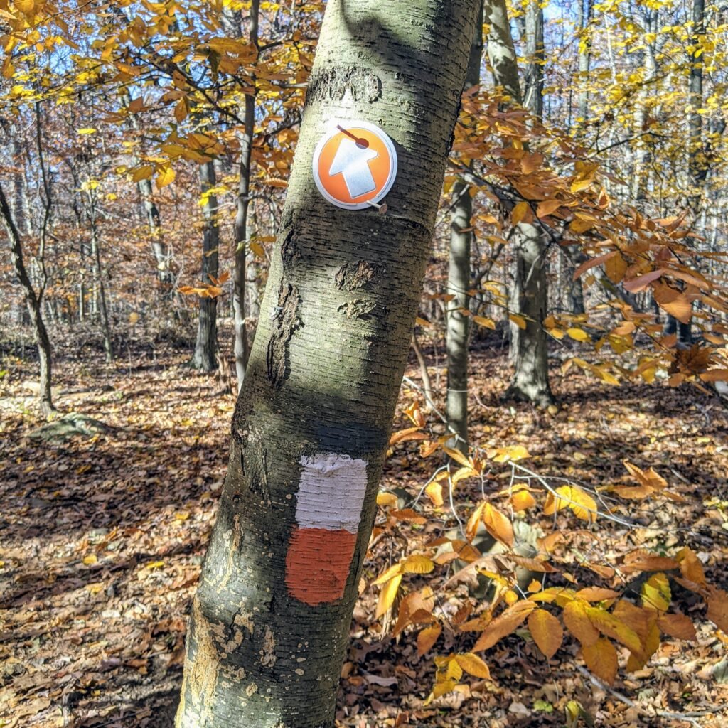
The trail is marked with an orange and white blaze (see above). On some of the trees, you’ll also see an orange circle with a white arrow inside. In the fall, there are plenty of leaves and it can be hard to see the actual trail on the ground. But it’s well marked with blazes, so if you pay attention to them you won’t get lost.
Note that the Turtleback Rock Trail is nearby, and it is marked with an orange blaze. Don’t confuse the two!

We continued down the trail about a tenth of a mile, and we came to a fork in the road. There was also a signpost with a color map. These are scattered throughout the trail network.
This fork in the road is where the Interpretive Trail meets the Turtleback Loop Trail. If you wanted to do the Turtle Back loop, you could turn left and follow the Orange Blazes. We stayed to the right, and for a short while the two trails ran together. Eventually, the Interpretive Trail branched off to the right and headed further north.
A little ways further, and we crossed an unmarked carriage road. This one is labeled on the map as the “North Trail.” If you take it to the left, you’ll hit the Turtle Back Zoo. If you take it to the right, you’ll end up back near the Turtle Back Picnic Area.
We continued past the carriage road and followed the orange and white blazes for the Interpretive Trail. It wasn’t long before we reached Turtle Back Rock.

You’ll easily be able to spot the rocky outcropping, and there is a clear path that takes you from the Interpretive Trail to Turtle Back Rock. With all of the leaves on the ground, the path to the rock was a little bit unstable, so be careful.
At this point, you should go check out the rock, have a seat, and enjoy the view of West Orange. It’s a nice place to come and sit. To continue, find your way back to the orange and white blazes and keep going in the clockwise direction.
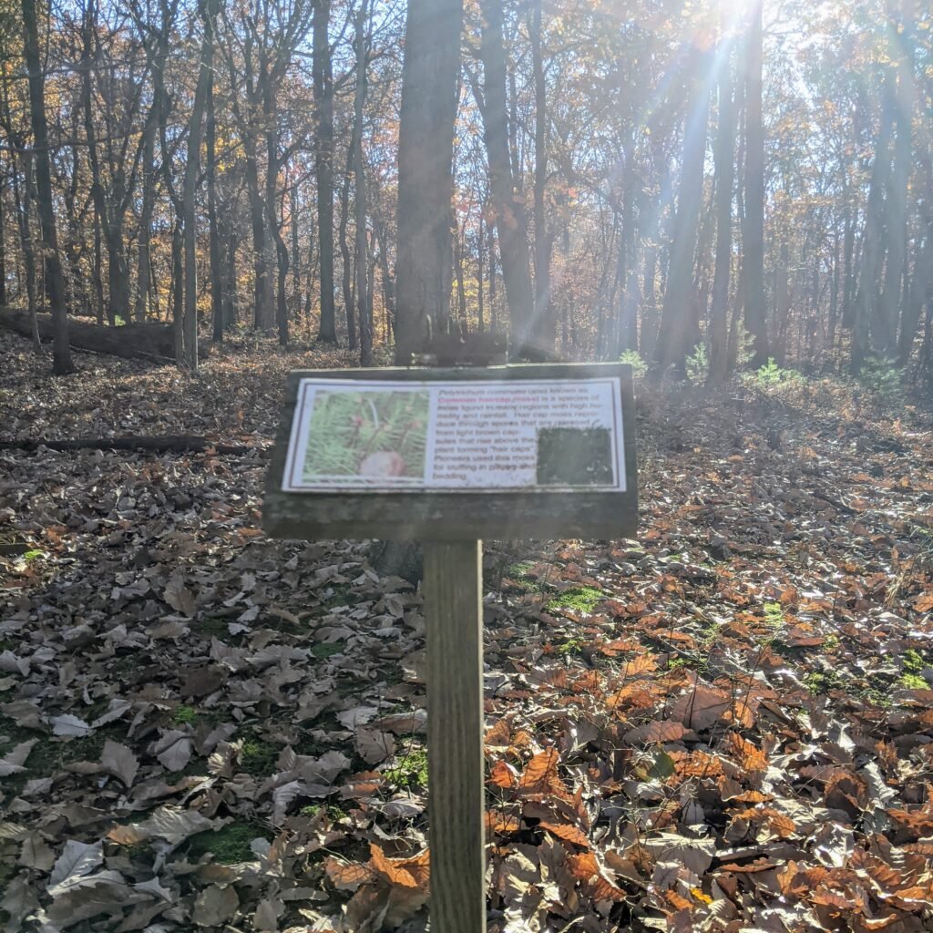
Along the Interpretive Trail, you’ll find a number of signposts like this. They identify local flora and tell you a little bit about the plants.
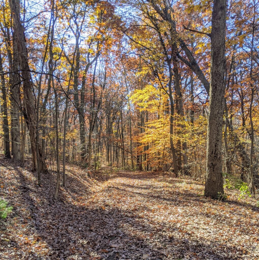
The colors are beautiful in late fall. I hiked this trail and took these photos in early November. You can see below the yellowish-orange of the leaves, as well as the coating of leaves on the trail.

We continued down the trail for a while and came to another fork in the road. It looks like five paths converge on this point. You’re crossing the carriage road again, and if you look ahead and to the left you’ll see the blaze for the Interpretive Trail.

Keep going straight ahead and you’ll soon be back at the parking area. If you were to take the carriage road to the left, you’d come out on the access road just before the parking area.
Final Thoughts on the Interpretive Trail
The Interpretive Trail is a short trail, and by itself it’s a pretty short hike or run. It’s about three quarters of a mile long.
I wouldn’t go out to “run” this trail by itself. I will, however, often add in a quick loop to build up the mileage on any given run. The loop connects to the Turtle Back Trail and, via the carriage roads, the Zoo Loop.
For example, the Turtle Back Trail is about 3 miles. By adding a loop of the Interpretive Trail first, I can make that closer to 4 miles. If I add a second loop at the end, I’m up to 4.5 to 5 miles.
This is a nice, easy hike if you don’t want something too strenuous. My puppy isn’t old enough to run, or to go for long hikes, so I’ll often take her on a quick walk along this trail. It’d also be great if you have children or people in your group who can’t walk very far.
The trail is also fairly flat and even. I’ve seen people biking on the trail, and it is easier areas of the reservation to bike on.
If you’re looking for other running or hiking trails in the area, check out my other posts about trails in the South Mountain Reservation.
And if you’ve never tried trail running, check out this guide to trail running.
Have you been on the Interpretive Trail? What did you think of it?