The South Mountain Reservation is home to a complex network of trails, including the Zoo Loop Trail.
The Zoo Loop is a short, moderately difficult trail in the north end of the South Mountain Reservation. It’s located near Northfield Ave in West Orange. The loop is two miles long and it circles the Turtle Back Zoo.

Let’s explore the Zoo Loop trail.
Accessing the Zoo Loop Trail
The Zoo Loop Trail is a continuous loop, and you can access it from a number of different areas.
If you’re on Northfield Ave, the trail enters the woods at the intersection of Sheridan Ave. If you’re on the Orange Reservoir Loop, the trail enters the woods at the southeastern part of the loop.
You can park at the Turtle Back Zoo parking lot or at McLoone’s Boathouse and join the trail along Northfield Ave. You can also park on the other side of Cherry Lane, by the picnic area at the Orange Reservoir Loop, and take a short walk around the reservoir to the trail.
Exploring the Zoo Loop Trail
I started my trail run this morning at the entrance to the woods at Northfield Ave and Sheridan Ave. It’s near a bus stop, and there is an obvious opening into the woods with a clearly marked blaze.
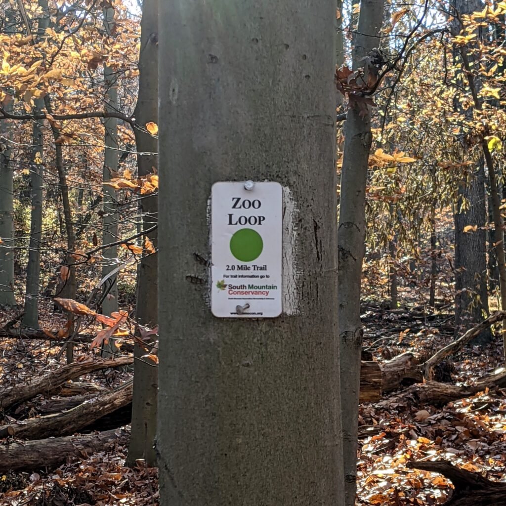
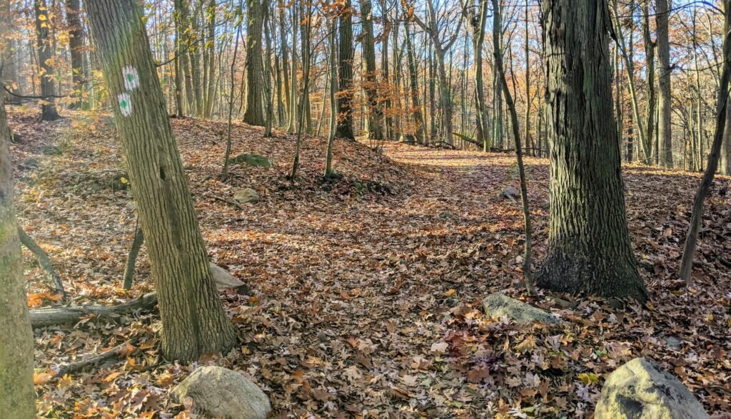
The trail is marked with a white and green blaze. There is a green circle inside the white marker. At some points, you’ll also see a small sign hung on trees, posts, and utility polls with a similar looking blaze. These signs clearly say “Zoo Loop” on them.
This first part of the trail is quite windy and quite hilly. It will wind to the right, nearer to the zoo, before turning back to the left. There’s a steep assent to the top of the hill, where the trail meets a double track carriage road (the North Trail).
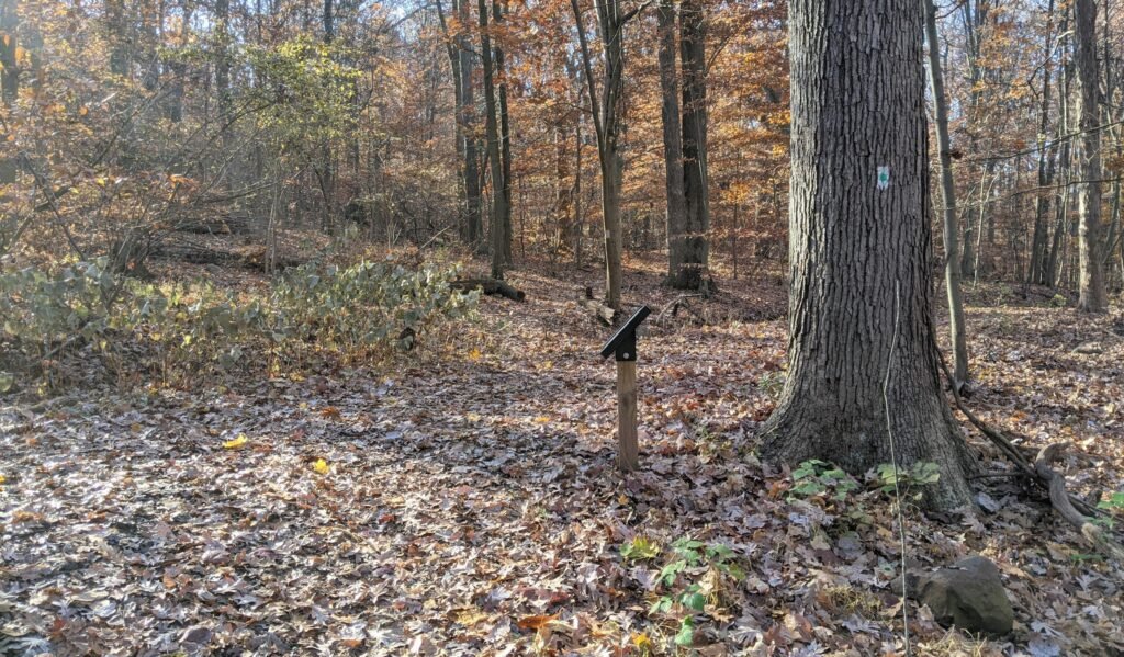
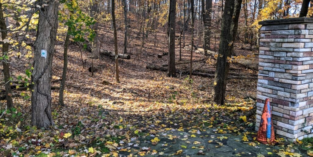
At this intersection, you’ll see a signpost with a map on it. Check it if you want to get your bearings, and then continue across the carriage road to the single track trail on the other side.
At this point, the trail will flatten out a bit. There are a number of rocks and exposed roots, so keep an eye out for your footing.
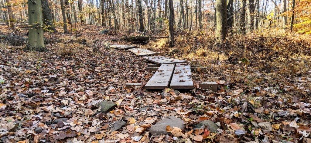
You’ll come across a set of wooden planks forming a kind of bridge. These cover a particularly muddy part of the trail. This part of the trail often gets muddy after rains and in the spring, so you may want to avoid it if there’s been significant rainfall recently.
You’ll soon come to another intersection with two double track carriage roads. The blaze indicates a right turn, and you take a quick jog to the right before heading straight up the carriage road.
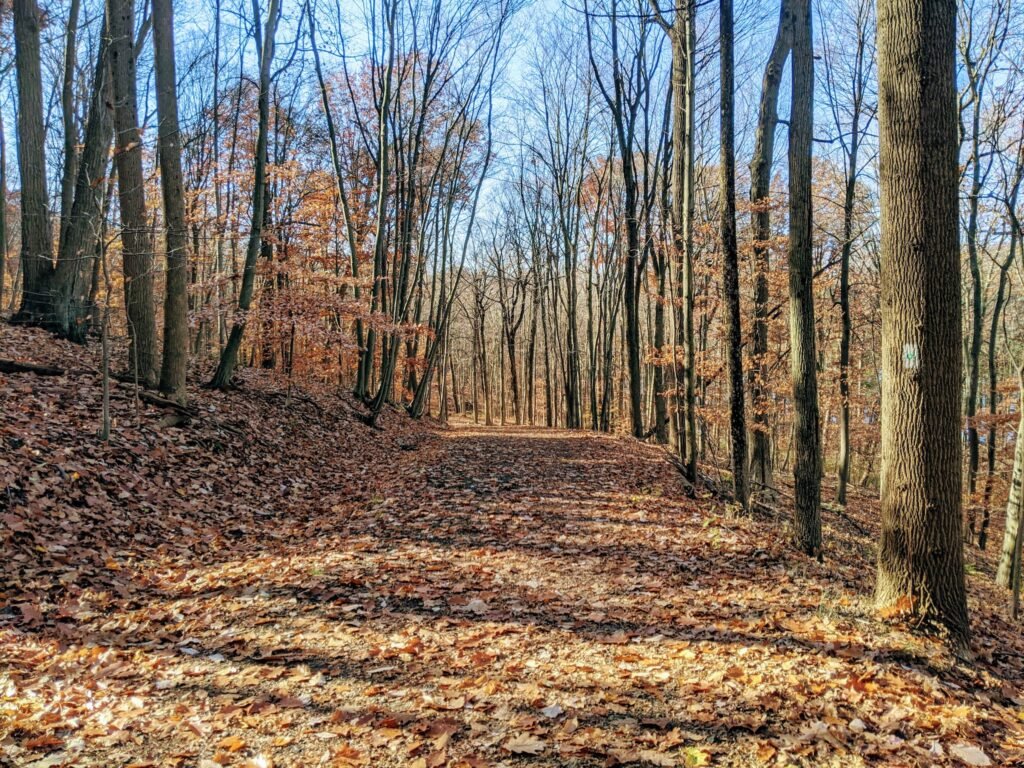
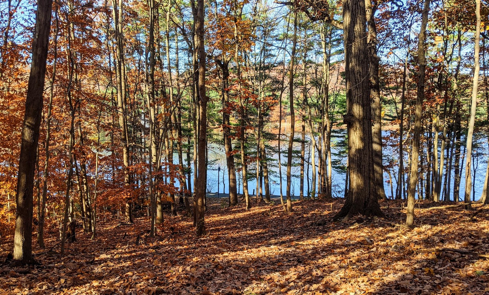
The trail is wide from here on out, and this is the end of the single track part. As you continue up the trail, you’ll see the Orange Reservoir off to your right. It’s less visible in the summer time, when the foliage is fully grown in, but the rest of the year you should be able to see it through the trees.
The trail will take a steep descent into a valley and then climb back out. At the top of that hill, you’ll see a blaze indicating a right turn and there will be another sign post with a map.

At this point, there’s a brief section of single track trail that connects the Zoo Loop to the Orange Reservoir Loop. It’s particularly windy, and the blazes don’t always make it clear where the actual trail is. But you can easily see your destination – the reservoir – so just continue down the hill until you get to the paved area.

Once you get to the pavement, take a right and continue along the Orange Reservoir Loop. It and the Zoo Loop run concurrently for about a half a mile until the Zoo Loop leaves the reservoir. You’ll see a few blazes on the posts on the righthand side of the trail.
At the north end of the reservoir, the Reservoir Loop will continue to the left across a bridge. There aren’t any clear blazes at this point, but continue straight out to the road. Take a right turn onto Northfield Ave, and continue straight past the Richard Codey Arena and the parking deck.
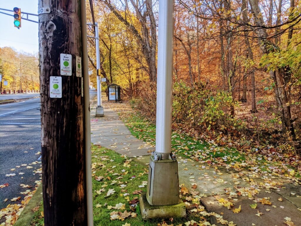
You’ll eventually see a blaze on a utility poll. About a half mile up Northfield Ave, you’ll come to the intersection with Sheridan. The blazes on the utility poll will indicate a right turn, and you’re back where we started.
Final Thoughts on the Zoo Loop Trail
The Zoo Loop Trail is two miles long. It’s a good building block for a trail run, or a nice scenic extension of the Orange Reservoir Loop for an easy hike.
The first part, heading uphill from Northfield Ave, can be quite strenuous as you’re running. There are also a couple of good hills later on. If you run the loop more than once, it nicely alternates between a mile of hard trails and a mile of easy pavement.
If you’re looking for an easy hike, this is a good, short one. It connects to the Orange Reservoir Loop for easy access, and you’re only in the woods for about a mile. Although there are a few hills, it’s not a strenuous hike by any means. You should, however, be aware that the portion near Northfield Ave can get quite muddy. Don’t wear your good shoes if you want to keep them clean.
This trail runs along the reservoir for a while, and bikes aren’t allowed there. So unfortunately, this isn’t a good place for mountain biking.
The Zoo Loop Trail also connects to a number of different trails in the South Mountain Reservation.
- If you turn left (east) at the first carriage road (the North Trail), you’ll be able to connect to the Interpretive Trail (the orange and white blaze).
- Shortly after that intersection, you can also turn left to join the Turtleback Loop (the orange blaze).
- If you continue straight when the trail turns to the right down towards the reservoir, you’ll soon reach the red trail that goes down by the stream.
- Continuing further will take you to the Lenape Trail (the yellow blaze).
If you’re looking for other running or hiking trails in the area, check out my other posts about trails in the South Mountain Reservation.
And if you’ve never tried trail running, check out this guide to trail running.
Have you run or hiked along the Zoo Loop Trail? What did you think?